USDA and NASA Partner on Agricultural Data Modernization
USDA and NASA will explore satellite data, crop yield estimates, and geospatial tools to improve agricultural data quality.
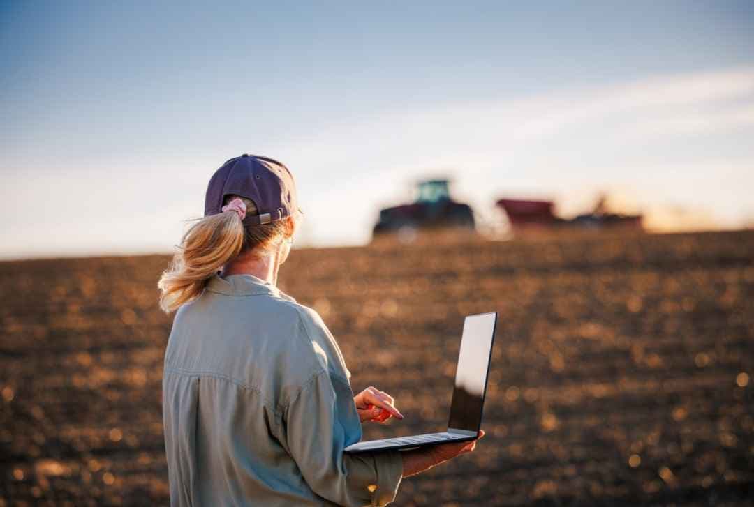
The U.S. Department of Agriculture (USDA) and NASA have signed a memorandum of understanding to improve agricultural data quality and explore how satellite observations, geospatial analytics, and statistical methods can support crop acreage and yield estimates.
Agriculture Secretary Brooke L. Rollins and NASA Administrator Jared Isaacman signed the agreement on October 24, 2026. The partnership takes effect immediately and supports USDA’s ongoing Data Modernization Plan, which aims to improve the timeliness, accuracy, and usefulness of agricultural data while reducing unnecessary burdens on producers.
“American farmers are the best in the world and deserve any solution we can leverage, even when it is out of this world. I am proud to announce that USDA will now work with Administrator Isaacman and NASA to utilize the full power of technology, research, and development to fortify U.S. agriculture,” said Secretary of Agriculture Brooke L. Rollins. “With this unprecedented partnership the Trump Administration is committing to a bright future of research and tech opportunities that will enhance USDA acreage and yield estimation and drive profitability for American agriculture.”
How NASA and USDA Will Work Together
The agreement outlines potential cooperation in agricultural statistics, remote sensing, modeling, geospatial data engineering, and super intelligence/machine learning (SI/ML). The agencies may identify additional areas for collaboration as priorities evolve.
Planned areas of cooperation include:
- Satellite data and agricultural statistics: Technical exchanges to align USDA statistical requirements with NASA Earth science missions and data products, including satellite observations, model outputs, and derived geophysical variables
- Data access and infrastructure: Discussions about access to NASA data archives, cloud-native geospatial formats, application programming interfaces (APIs), and workflows that support USDA operations
- Crop estimates and validation: Technical reviews of algorithms for crop condition indicators, yield models, planted and harvested acreage estimates, and disaster impact assessments
- Accuracy and uncertainty: Examination of methods for bias correction, uncertainty measurement, and validation using statistically sound frames and ground data
NASA’s Earth observation data and technical expertise will be considered alongside USDA’s agricultural knowledge to improve information about crop conditions and natural hazards.
“NASA develops some of the most advanced sensing, computing, and analytical capabilities in the world, and we should put those tools to work wherever they can deliver meaningful outcomes for the American people,” said NASA Administrator Jared Isaacman. “By combining NASA’s Earth observation data and technical expertise with USDA’s knowledge of American agriculture, we can improve the information available to farmers and ranchers, strengthen our understanding of crop conditions and natural hazards, and pursue new high-risk, high-reward ideas that advance both science and American competitiveness.”
Background & Data Modernization Goals
The agencies’ partnership builds on existing cooperation. In December 2025, President Trump issued Executive Order 14369, “Ensuring American Space Superiority.” NASA and USDA then began exploring additional ways to apply technology and research to agriculture, environmental observation, and human health.
The new agreement supports USDA’s Data Modernization Plan, launched by Rollins in September 2026. The plan aims to put farmers first, reduce unnecessary burdens on producers, and improve the quality and usefulness of agricultural data used to inform decisions across the industry.
The memorandum outlines potential collaboration rather than a finalized list of projects. The agencies intend to investigate opportunities for cooperation under the agreement.
The full memorandum is available through the USDA website.